Photographie
Le CYANOTYPE est une technique de tirage par contact, à partir du mélange de citrate d’ammonium ferrique et de ferricyanure de potassium. Cela permet de réaliser des tirages photographiques bleu de Prusse, bleu cyan.
CYANOTYPIE ist eine Kontaktabzugstechnik, bei der eine Mischung aus Eisenammoniumcitrat und Kaliumferricyanid verwendet wird.
Dadurch lassen sich fotografische Abzüge in Preussisch Blau, Cyanblau herstellen.
CYANOTYPE is a contact printing technique using a mixture of ferric ammonium citrate
and potassium ferricyanide. This produces Prussian blue, cyan blue photographic prints.

Cyanotype on old cookbooks 18 x 24 cm

Cyanotype on old cookbooks 18 x 24 cm

Cyanotype on old cookbooks 18 x 24 cm

Cyanotype on old cookbooks 18 x 24 cm

Cyanotype on old cookbooks 18 x 24 cm

Cyanotype on old cookbooks 18 x 24 cm

Cyanotype on old cookbooks 18 x 24 cm

Cyanotype on old cookbooks 18 x 24 cm

Cyanotype on old cookbooks 18 x 24 cm

Cyanotype on old cookbooks 18 x 24 cm

Cyanotype on old cookbooks 18 x 24 cm

Cyanotype on old cookbooks 18 x 24 cm

Cyanotype on old cookbooks 18 x 24 cm

Cyanotype on old cookbooks 18 x 24 cm

Cyanotype on old cookbooks 18 x 24 cm
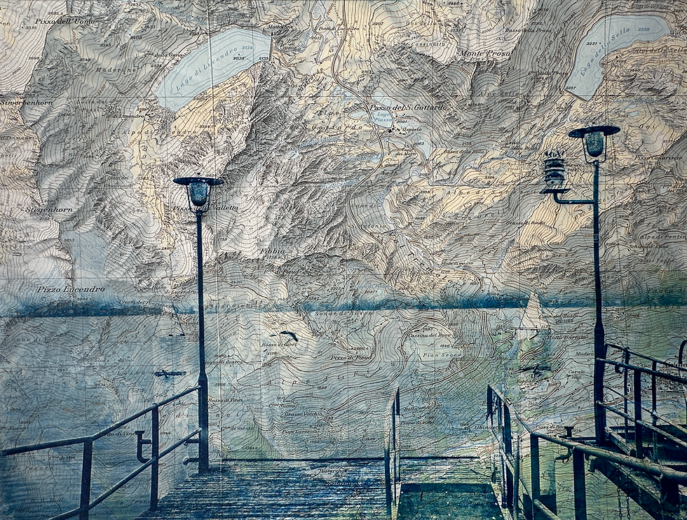
Cyanotype on Swiss topographic map extract - 30 x 24 cm
Go to link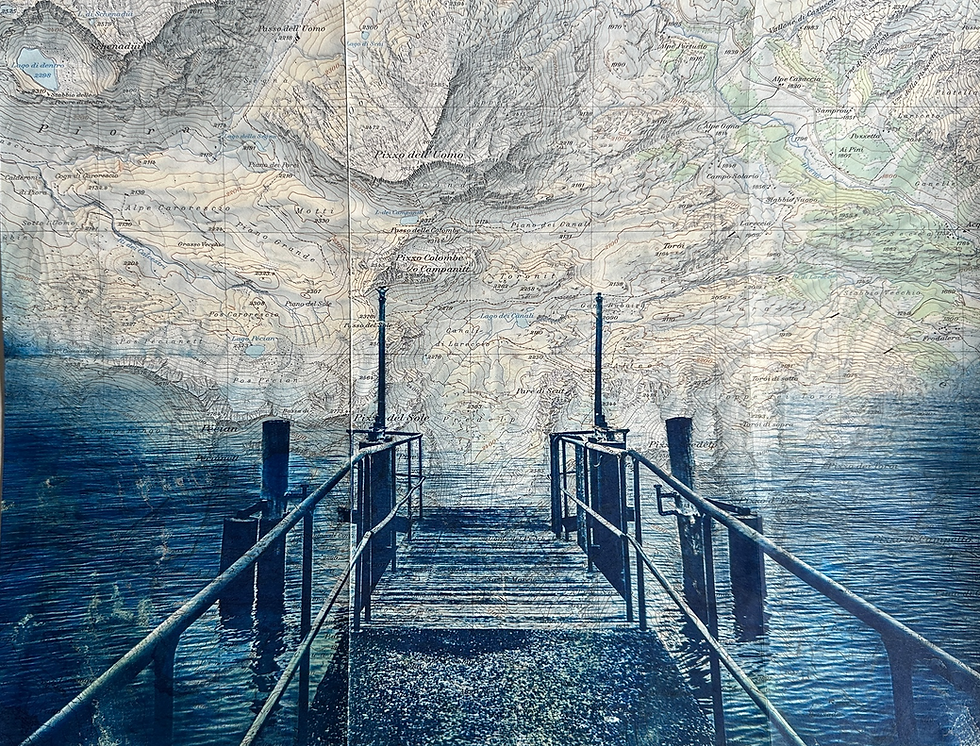
Cyanotype on Swiss topographic map extract - 30 x 24 cm
Go to link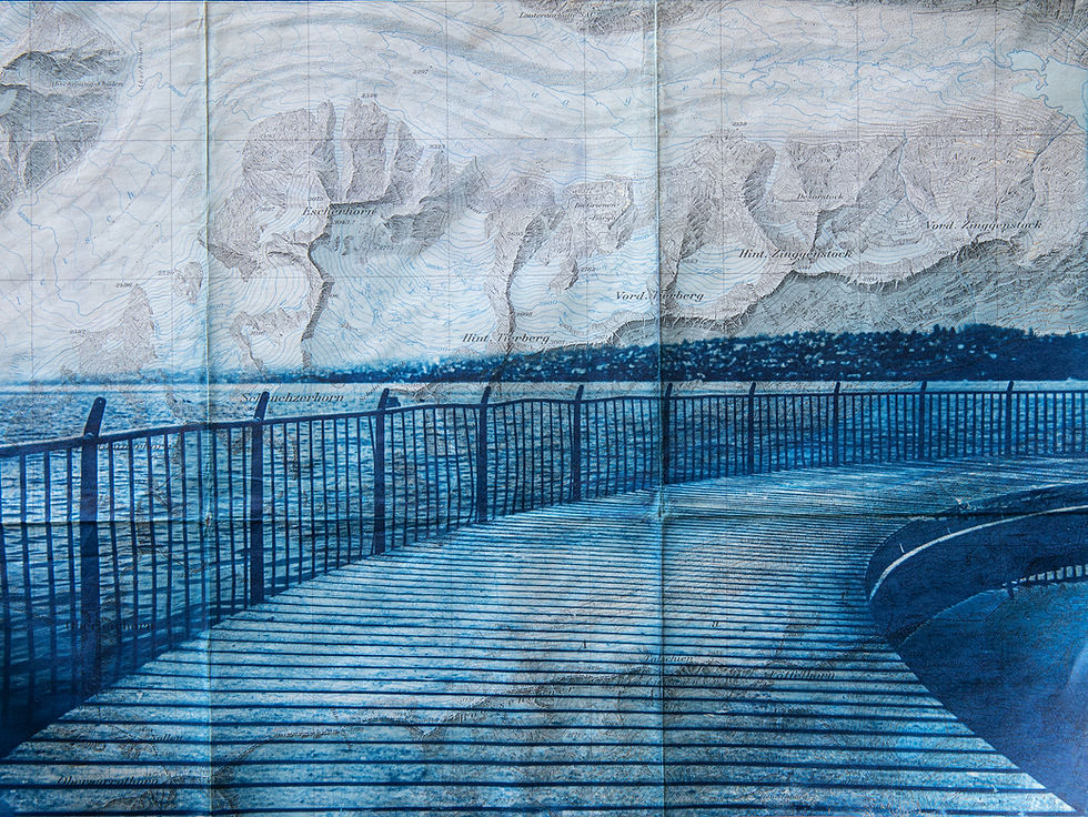
Cyanotype on Swiss topographic map extract - 30 x 24 cm
Go to link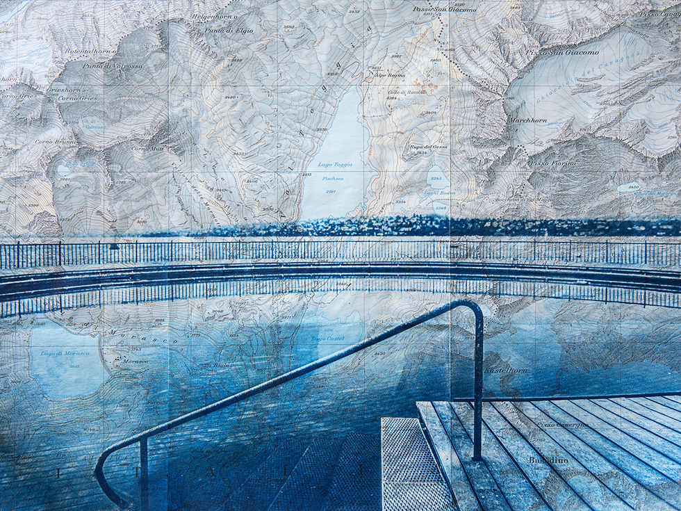
Cyanotype on Swiss topographic map extract - 30 x 24 cm
Go to link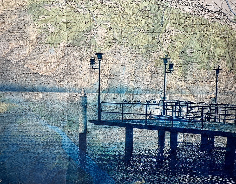
Cyanotype on Swiss topographic map extract - 30 x 24 cm
Go to link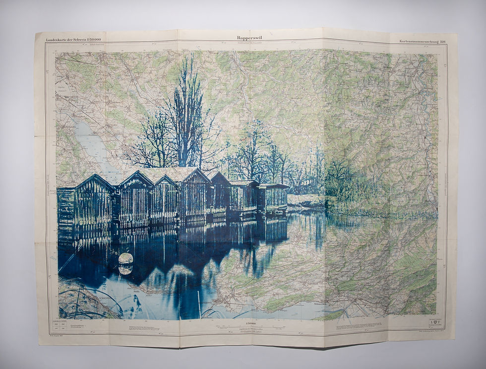
Cyanotype on Swiss topographic map Carte de Rapperswil - Photo Jona -1:25'000 - 1956 - 78 x 56 cm
Go to link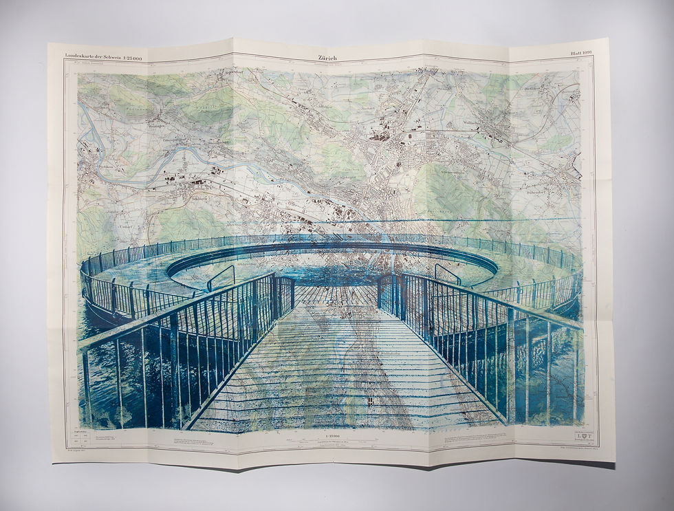
Cyanotype on Swiss topographic map Carte de Zürich - Photo Tiefenbrunnen -1:25'000 - 1956 - 78 x 56 cm
Go to link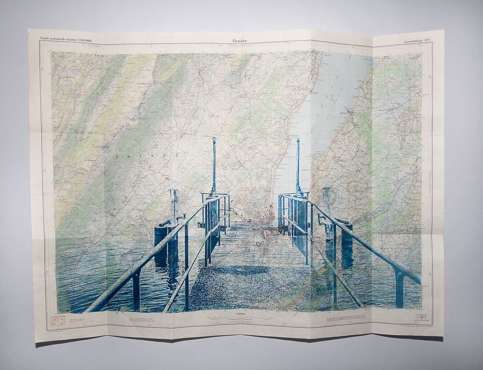
Cyanotype on Swiss topographic map Carte de Genève - Photo Kilchberg -1:50'000 - 1958 - 78 x 56 cm
Go to link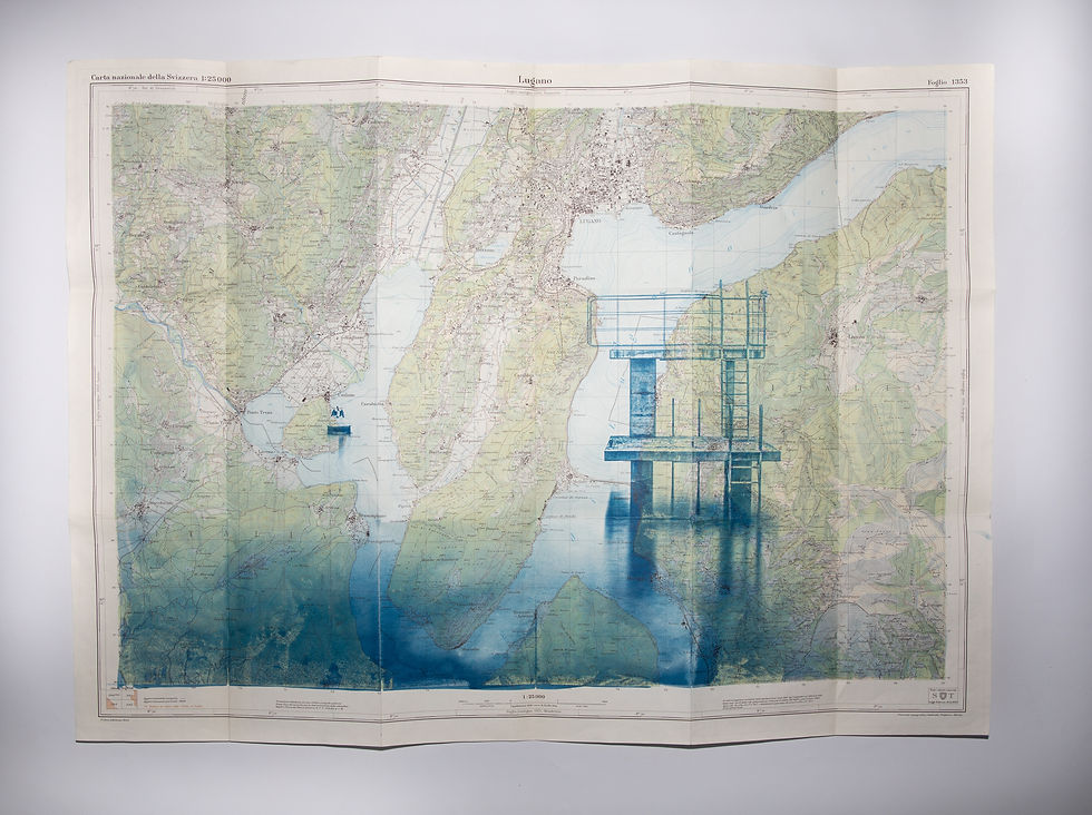
Cyanotype on Swiss topographic map Carte de Lugano - Photo Rüschlikon -1:25'000 - 1959 - 78 x 56 cm
Go to link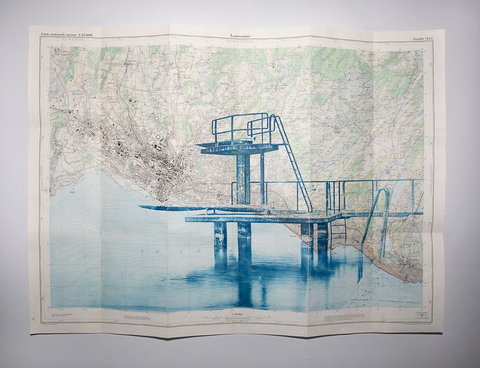
Cyanotype on Swiss topographic map Carte de Lausanne - Photo Stäfa -1:25'000 - 1964 - 78 x 56 cm
Go to link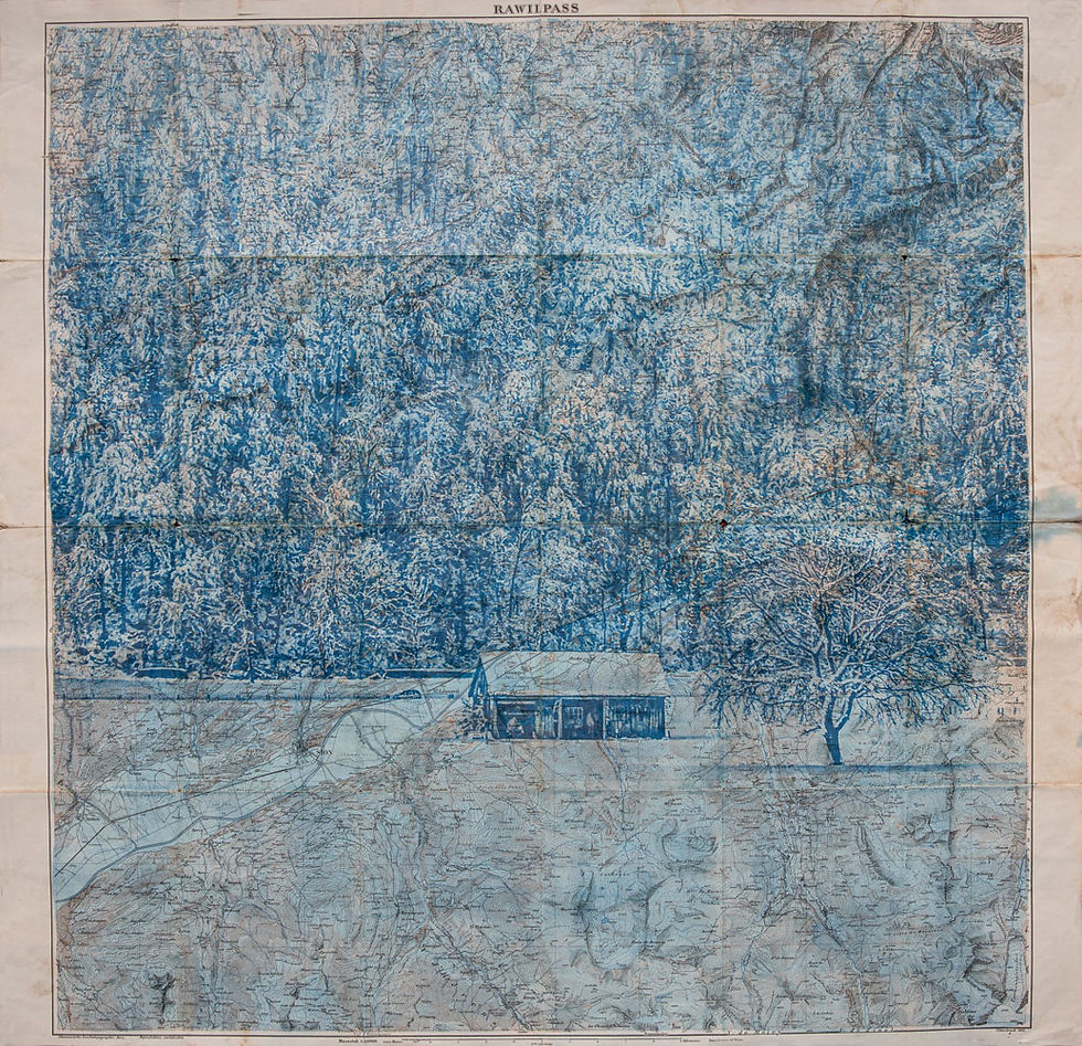
Cyanotype on Swiss topographic map Carte de Rawilpass - Photo Sargans - 1:50'000 - 1921
Go to link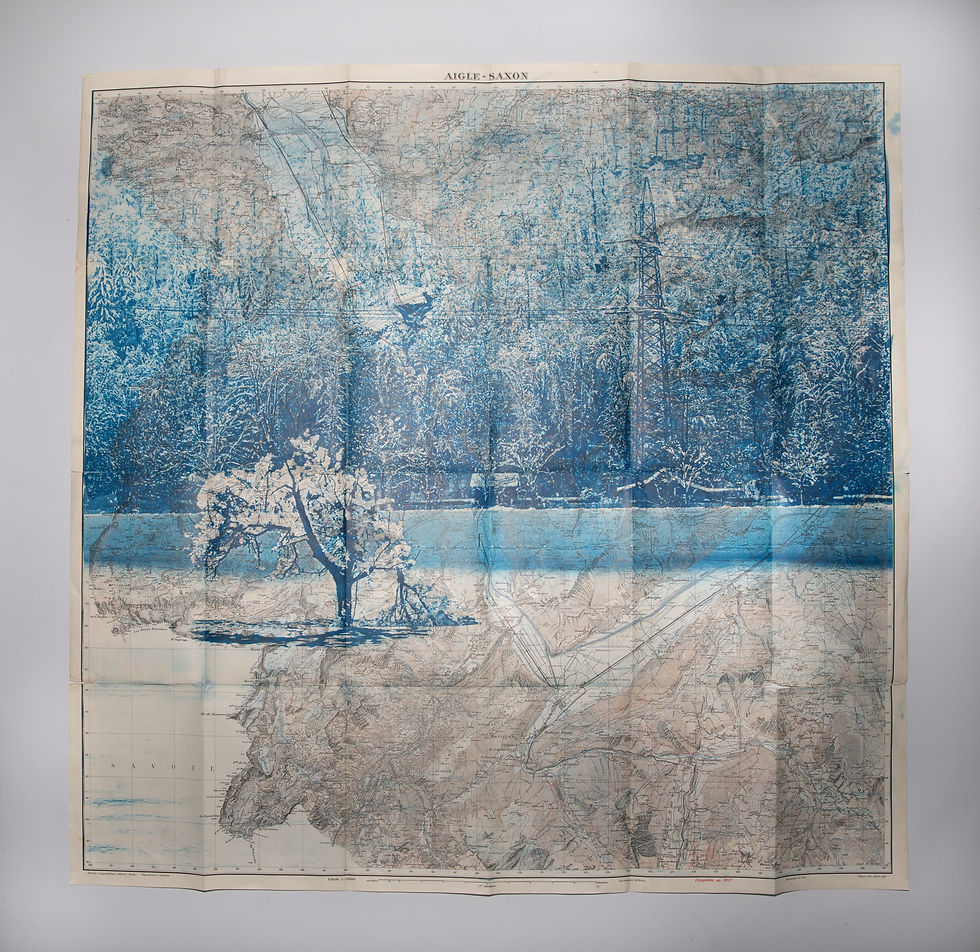
Cyanotype on Swiss topographic map Carte de Aigle Saxon - Photo Sargans - 1:50'000 - 1921
Go to link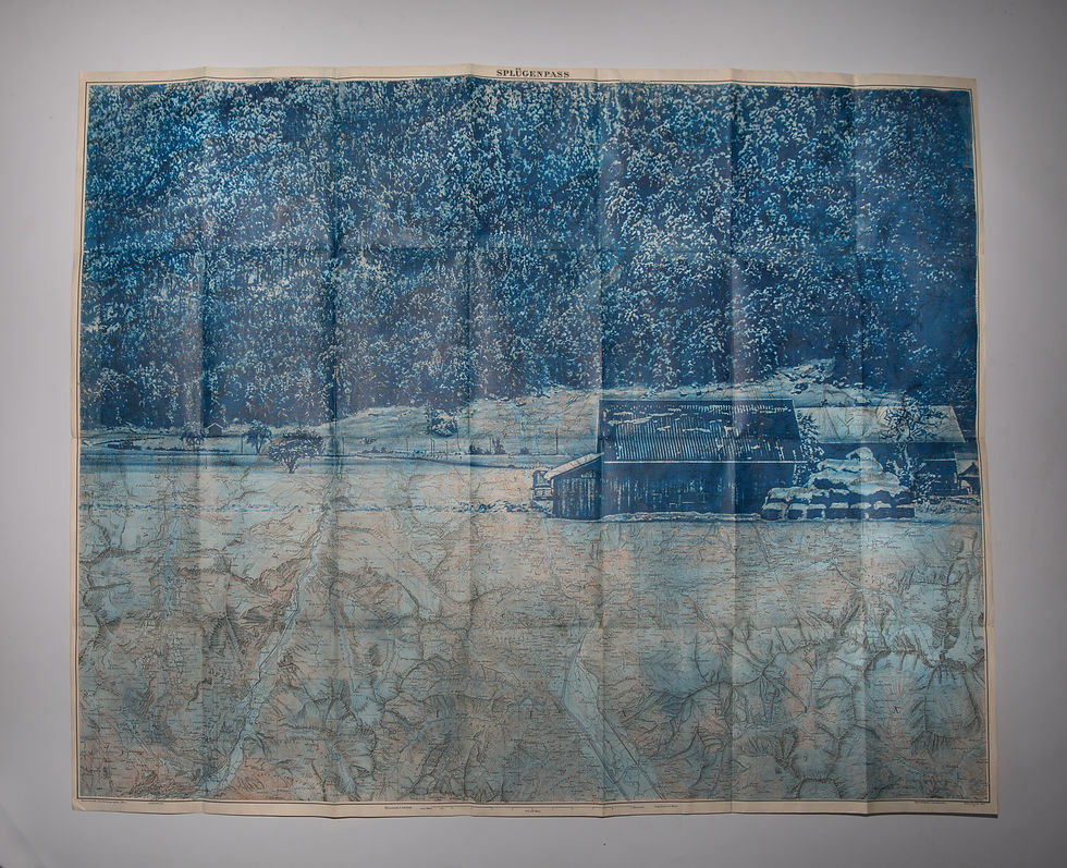
Cyanotype on Swiss topographic map Carte de Splügenpass - Photo Sargans -1:50'000 - 1918
Go to link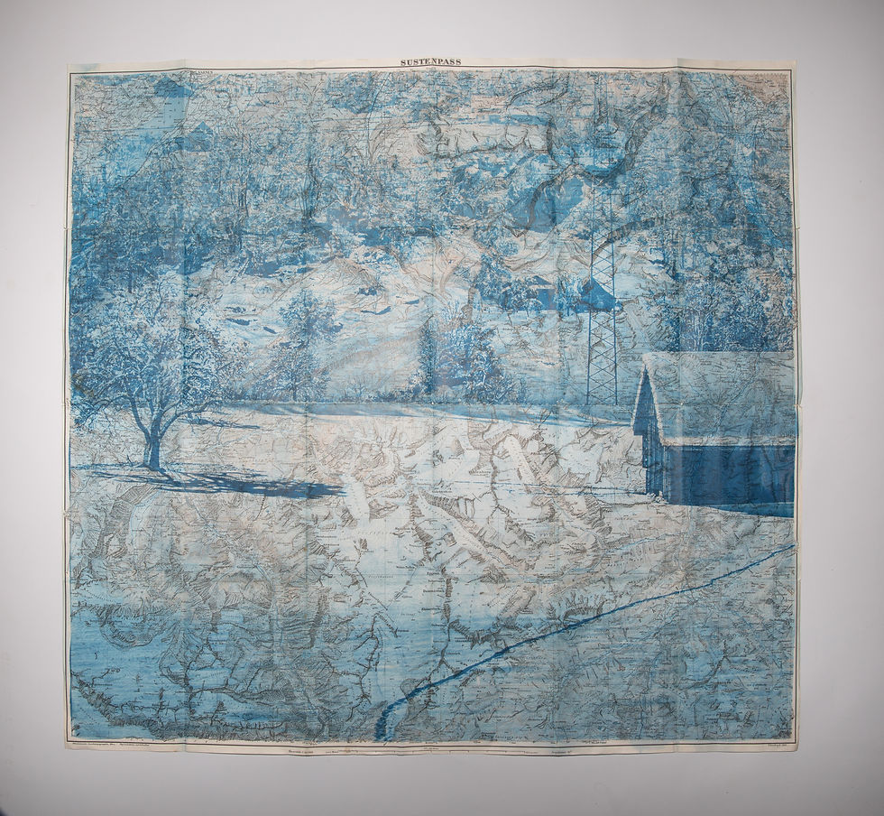
Cyanotype sur carte topographique suisse Carte de Sustenpass - Photo Sargans -1:50'000 - 1912
Go to link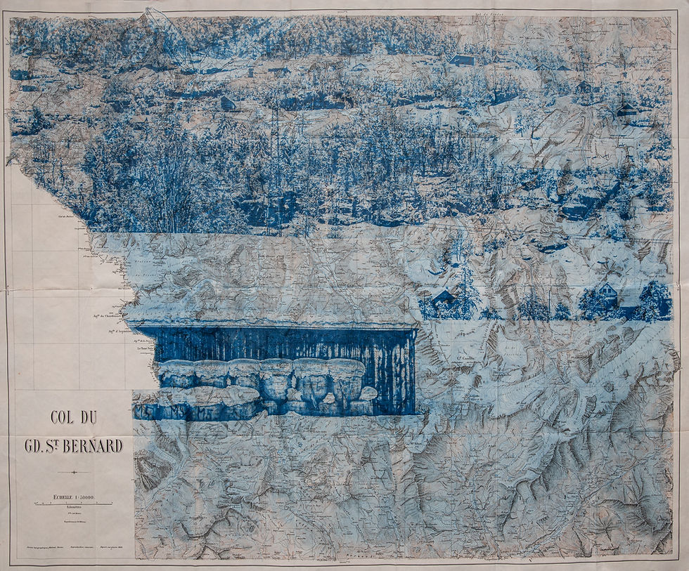
Cyanotype on Swiss topographic map Carte du col du Saint-Bernard - Photo Sargans - 1:50'000 - 1921
Go to link
Cyanotype on National Geographic map : Sihlwald ZH - The Balkans - 1966 - 44 cm x 29 cm
Go to link
Cyanotype on National Geographic map : Stoos-SZ - Arctic-Ocean - 1966 - 44 cm x 29 cm
Go to link
Cyanotype on National Geographic map: Klöntal-GL - Greece and the Aegean - 1966 - 44 cm x 29 cm
Go to link
Cyanotype on National Geographic map : Chüeplanng UR - USSR - 1966 - 44 cm x 29 cm
Go to link
Cyanotype on National Geographic map : Chüeplanng UR - Iberia Peninsula - 1966 - 44 cm x 29 cm
Go to link
Cyanotype on National Geographic map : Col du Sanetsch - Europe - 1966 - 44 cm x 29 cm
Go to link
Cyanotype on National Geographic map : Lenzerheide GR - Middle-East - 1966 - 44 cm x 29 cm
Go to link
Cyanotype on National Geographic map : Charetalp SZ - Sahara - 1966 - 44 cm x 29 cm
Go to link
Cyanotype on National Geographic map : Sihlwald ZH - Yugoslavia - 1966 - 44 cm x 29 cm
Go to link
Cyanotype on National Geographic map : Greina Ebene GR - South East Asia - 1966 - 44 cm x 29 cm
Go to link